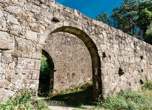
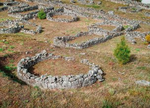
Sta. Luzia
The pedestrian trail "Trilho dos Canos de Água" is a short-distance trail (PR9 - portuguese acronym), marked and signaled according to international guidelines.
This trail is located in the parishes of Viana do Castelo (Santa Maria Maior) and Areosa, Viana do Castelo Municipality, starting and ending at the Santa Luzia Temple. Pedestrians go down to Fincão, going up through the water pipes to the village of S. Mamede, then returning from the top, enjoying the panoramic views and all the beauty and charm of Santa Luzia moutain, "ex libris" of the capital of Viana do Castelo District.
Datasheet PR9 - Water pipes trail
Duration: 3h00m
Distance: 9,89 km
Difficulty level: Easy
Category: Circular
Starting point: 41.701483, -8.835172
Route in KMZ format for download: KMZ_PR9 TRILHO DOS CANOS DE AGUA
Location
Areosa, União de Freguesias de Sta. Maria Maior, Meadela and Monserrate
Coordinates
Lat: 41.701242
Long: -8.834847
Hello little one!
I'm Piquinhos and I can help you learn more about the Geopark!
Technical details
Child Mode
Discover the geopark in a simpler format, aimed at the little ones.
Clique ENTER para pesquisar ou ESC para sair

