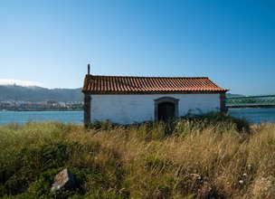
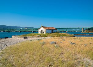
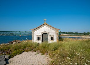
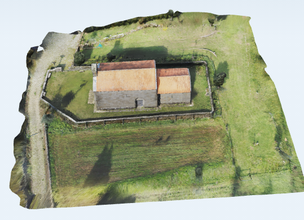
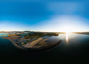
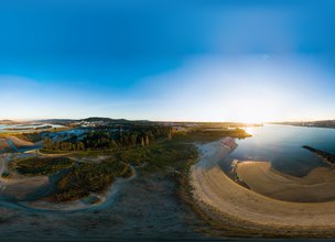
The Chapel of S. Lourenço is located in the reed bed that borders the Lima River, right next to the wall where the old wooden bridge that served the old royal road began.
Forgotten for a long time leading to abandonment, it was restored in 1982, when there appeared, between bits of tegulae, cushioned stones and remains of columns, an ara without any type of inscription, but with the epigraphic area and the head well maintained.
As much or more important that the ara is the place where it appeared, as well as the materials that accompanied it at the time of discovery. The place where the chapel is, can be considered inappropriate for human settlement, as it is located in the middle of marshland, humid, muddy and invaded daily by tidal waters. Only a chapel or other type of construction with very peculiar characteristics and purposes is meant for this location.
Excluding the hypothesis of an agricultural occupation or the like - it could be fishing - we have those that have to do with the presence of a small temple or a structure related to the Roman route that passed by.
Location
Darque
Coordinates
Lat: 41.6903889
Long: -8.8184722
Hello little one!
I'm Piquinhos and I can help you learn more about the Geopark!
Technical details
Child Mode
Discover the geopark in a simpler format, aimed at the little ones.
Clique ENTER para pesquisar ou ESC para sair
