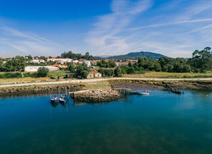
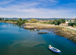
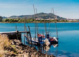
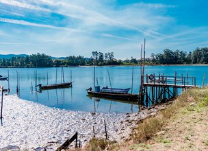
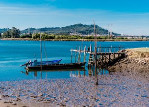
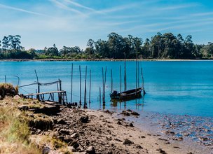
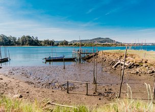
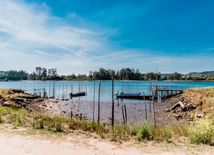
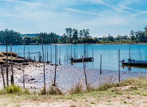
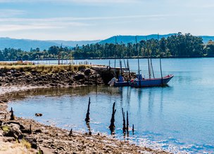
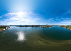
Small docking structures appear in large numbers on the banks of the Lima River. Its location is influenced by the conditions of access and anchorage dictated by the characteristics of the bed and the margins, as well as by the need of the riverside populations with regard to river transport. Often these docking points were associated with crossing points in Lima that connected important population groups. These secular piers or docks correspond, in their majority, to stilt structures, consisting of piles, floating platforms and mooring posts. Some have access ramps to the margin.
Considering that the navigability conditions of the Lima River changed substantially throughout the 20th century, it will be important to note that in previous centuries the river was navigable from Arcos de Valdevez, where the importance of the Jolda (Santa Madalena) pier is known, until its mouth in Viana do Castelo. On the navigability of Lima in the 17th century, the answer to the survey of the Parish Memories of 1758, concerning the parish of Cardielos, is elucidating: “The Lima River […] from Arcos to Viana with distances from four to five legoas of a calm, still river, and boats go up and down with loads… ”(Capela, José Viriato, 2005, p. 427).
From the main anchorages located on the banks of the Lima River came the água-arriba, traditional vessels that ensured the connection between the banks and the transport of people and cargo to the two most important fairs in the Lima valley region: Feira de Ponte and Feira de Viana. The available compartments were occupied by animals, goods and people. The commercial outflow of wood and vinho verde (green wine) produced in the Lima valley had the indispensable support of these boats. In the opposite direction, salt, lime, fertilizers, sulfate and sulfur were supplied to agricultural communities by river.
Location
Santa Marta de Portuzelo
Coordinates
Lat: 41.6978528
Long: -8.7713861
Hello little one!
I'm Piquinhos and I can help you learn more about the Geopark!
Technical details
Child Mode
Discover the geopark in a simpler format, aimed at the little ones.
Clique ENTER para pesquisar ou ESC para sair
