
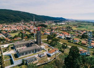
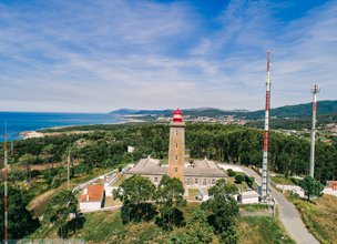
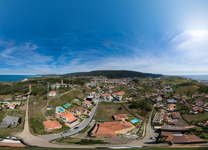
On a hill in Montedor stands a lighthouse of the same name, built in 1910; its 3rd order illuminator has white light with rotation, giving a group of three flashes every 10 seconds; reaches 26 miles in clear weather.
The tower of this lighthouse has a squared section and measures 22 meters in height, with the focus at 102m, 37 above sea level; crosses with the lighthouse of the Cias Islands, at the entrance of the Vigo estuary, and with the end of the river douro bar, in Porto. (Marquis d'Ávila and Bolama)
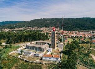
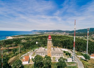
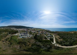

Location
Montedor, Carreço
Coordinates
Lat: 41.7510139
Long: -8.8734278
 Theme
Theme
 Point of interest

Hello little one!
I'm Piquinhos and I can help you learn more about the Geopark!

Technical details
Child Mode
Discover the geopark in a simpler format, aimed at the little ones.
Clique ENTER para pesquisar ou ESC para sair